EXPLORATION – DISCOVERY – CARTOGRAPHY
4th International Symposium on the History of Cartography
Eötvös Loránd University, Budapest, Hungary
28-29 June 2012

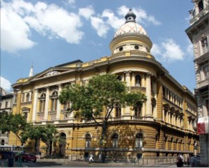
VENUE
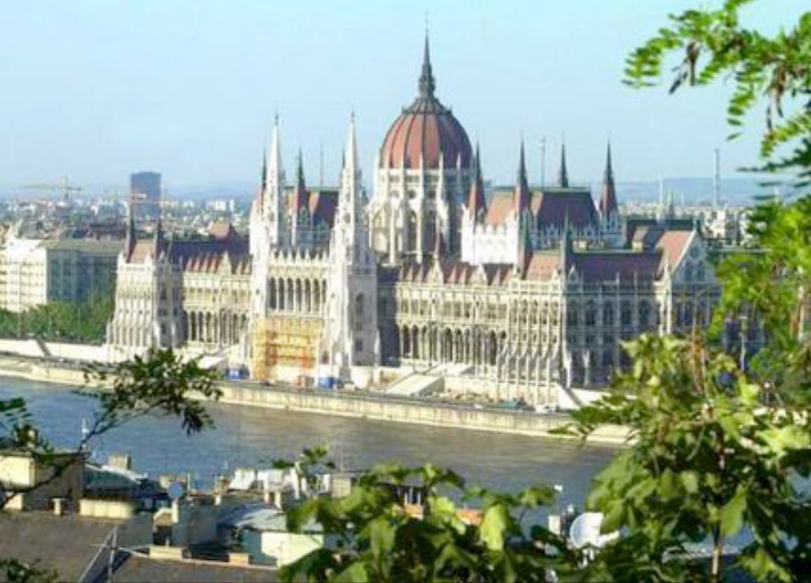
The 4th International Symposium of the ICA Commission on the History of Cartography was organized by the Commission in collaboration with Dr Zsolt Török of the Department of Geography and Geoinformatics, Eötvös Loránd University, Budapest.


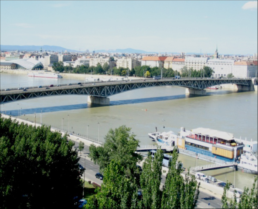
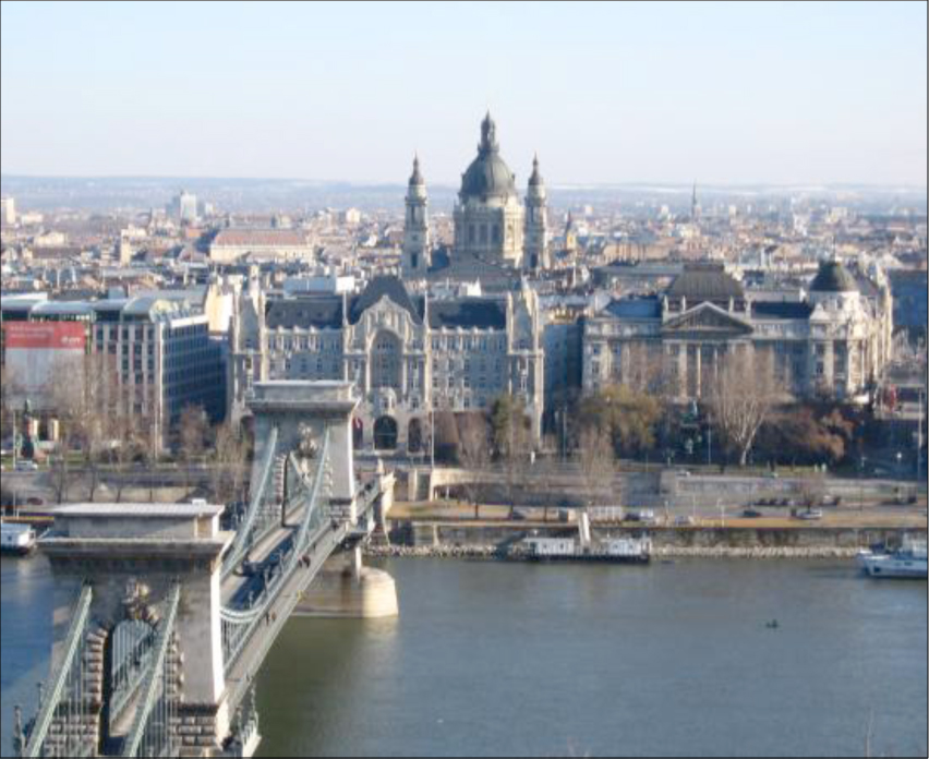
Budapest, situated on the River Danube
SPECIAL PRE-SYMPOSIUM EVENT
On Wednesday 27 June 2012 a special pre-symposium event, entitled Cartography from Three Continents, was organized by the Department of Geography and Geoinformatics at the ELTE Lagymányosi Campus of the Eötvös Lorand University. The following academics were invited to speak at this event:
- Prof Ferjan Ormeling (Europe: The Netherlands) on Current Issues on Geographical Names: UNGEGN report to ICA.
- Prof Paulo de Menezes (South America: Brazil) on Infrastructure of Spatial Data in Brazil.
- Prof Elri Liebenberg (Africa: Republic of South Africa) on South Africa’s contribution to 20th century cartography.
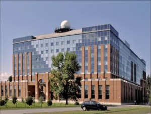
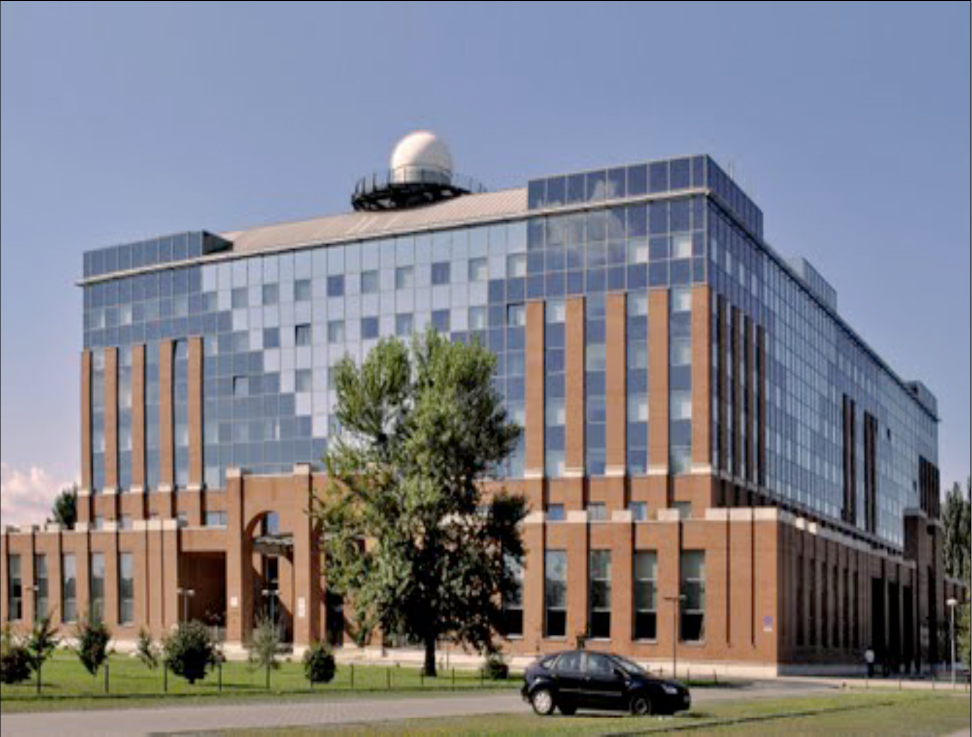
The Campus of the University – The ELTE Lagymányosi Eötvös Lorand
THEME AND SESSIONS
The general theme of the symposium was: “Exploration, Discovery, Cartography”.
The Symposium was open to all cartographers, geographers, historians, map collectors, academics and later persons interested in the history of cartography. In pursuit of its agenda the ICA Commission welcomed paper and poster submissions investigating scientific developments in the history of Exploration, Discovery and Cartography, regardless of where or when these activities took place. Although the Commission is primarily interested in cartographic endeavours during the 19th and 20th centuries, cartographic activities during earlier centuries usually formed the background for later developments and were also considered important.
The 24 papers were organized into the following 8 sessions:
SESSION I
Maps. Borders, Boundaries
– Veres, Madalina (USA):
Exploring and Defining Imperial Borders: Marking the Eastern Border of the Habsburg Monarchy in the
second half of the 18th century
– Handoyo, Sri (Indonesia):
The brief history of the boundary mapping between Indonesia and Timor-Leste
– Demhardt, Imre Josef (USA):
Gone to Texas! Land Speculators, Surveyors, and the Cadastral Mapping in the 19th Century Lone Star State
SESSION II
Thematic Mapping
– Collier Peter (UK):
Edward Sabine and the “Magnetic Crusade”
– Török, Zsolt – Hillier, Domonkos (Hungary):
Exploring and Mapping the Danube between Buda and Pest: László Vörös’ hydrographic and topographic map (1833)
– Monmonier, Mark (USA):
The Cartographic Discovery of the Great Lakes Snowbelts
SESSION III
Topographical Mapping
– Liebenberg, Elri (South Africa):
The “Major Jackson’s Transvaal and Natal Series” of the Anglo-Boer War (1899 – 1902): A cartobibliographic framework
– Arnaud, Jean-Luc (France):
The long life of a 1:200 000 map of Central Europe
– Zentai, László (Hungary):
Discovery of forested areas in topographic maps: development of orienteering maps
SESSION IV
Exploration and Mapping
– Menezes, Paulo (Brasil):
The General Map of the Republic of Brazil
– De Maeyer, Philippe – De Coene, Karen (Belgium):
The Cartography of the Congo
– Hasegawa, Koji (Japan):
The survey and cartography of Japan in the 19th century
SESSION V
19th Century Mapping in Europe
– Altič, Mirela (Croatia):
Exploring Along the Rome Meridian – Roger Boscovich and the Production of the First Modern Map of the Papal States
– Moser, Jana (Germany):
Saxony as part of international collaboration – the mid-European Meridian arc measurement since 1862
– Christoph, Andreas (Germany):
Media-related aspects of popularization – The geographical Serials from the publishing houses of Friedrich Justin Bertuch
SESSION VI
Europe and the World
– Feldmann, Hans-Uli (Switzerland):
Charles Jacot-Guillarmod and his maps of the Himalayan Regions (1914–1925)
– Nemerkényi, Zsombor – Bartos-Elekes, Zsombor (Hungary/Romania):
Explorers of the Congo and the Zambezi in the 19th Century and the Comparative Analysis of their Cartographical Works
– Schunka, Alexander:
The Raw and the Cooked – and the Recipe: 19th century Map Descriptions as Historical Sources
SESSION VII
Cartography and Names
– Wu, Chia-Jung (ROC):
Colonial mapping and naming of the Pacific Islands – a case study of Orchid Island, Taiwan
– Ormeling, Ferjan (The Netherlands):
Name location on old maps
– Rajakovic, Marina – Lapaine, Miljenko (Croatia):
Hungarian and Croatian Cartographers
SESSION VIII
Mapping People
– Landais, Benjamin (France):
Les communautés rurales, un acteur de la cartographie locale? Lespremiers plans urbariaux du Banat (1772-1779)
– Sorin, Avram (Romania):
The historical evolution of Craiova municipality (Romania) resulting from the analysis of cartographic documents
Posters
1. Depuydt, Joost(Belgium):
Ambitious Antwerp (1850-1940)
2. Deák, Antal András (Hungary):
The Mystery of a Mine Map
3. Alsharrah, Saad (Australia):
Use of Geographic Information Systems for the digitization and analysis of historical road maps
of West Yorkshire
4. Antoš, Filip (Czech Republic):
Cartographic sources as a cultural heritage
5. Fodorean, Florin (Romania):
Reconstructing the landscape: the second and the third military survey of Transylvania, modern cartography
and discoveries from the former Roman Dacia
6. Gercsák, Gábor – Márton, Mátyás (Hungary):
Digital virtual restoration and reconstruction of a 150-year-old Hungarian globe
7. Jeney, János György (Hungary):
Comparison of the overall presentation of ethnic maps of Hungary made by German and Hungarian mapmakers
between 1867 and 1920
8. Isaksen, Leif (UK):
The Practical Prognosticator – On the Use and Abuse of Ptolemy’s Geography
9. Reyes, Jesus (Hungary):
The first National Atlas of Cuba: Rediscovering the early 20Th century country
10. Síkhegyi, Ferenc (Hungary):
Geological Mapping in Central Europe in the 18th and early 19thcentury
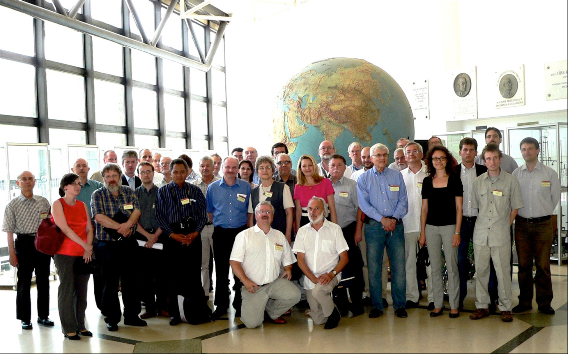
ATTENDANCE
The Symposium was attended by approximately 50 people. The majority of participants were from Europe (France, Belgium, Germany, Austria, Switzerland) and Eastern Europe (Czech Republic, Croatoa, Hungary, Romania) but others came from as far afield as the US, the UK, Brazil, Japan, and South Africa.
Group photo of participants at the ICA Symposium
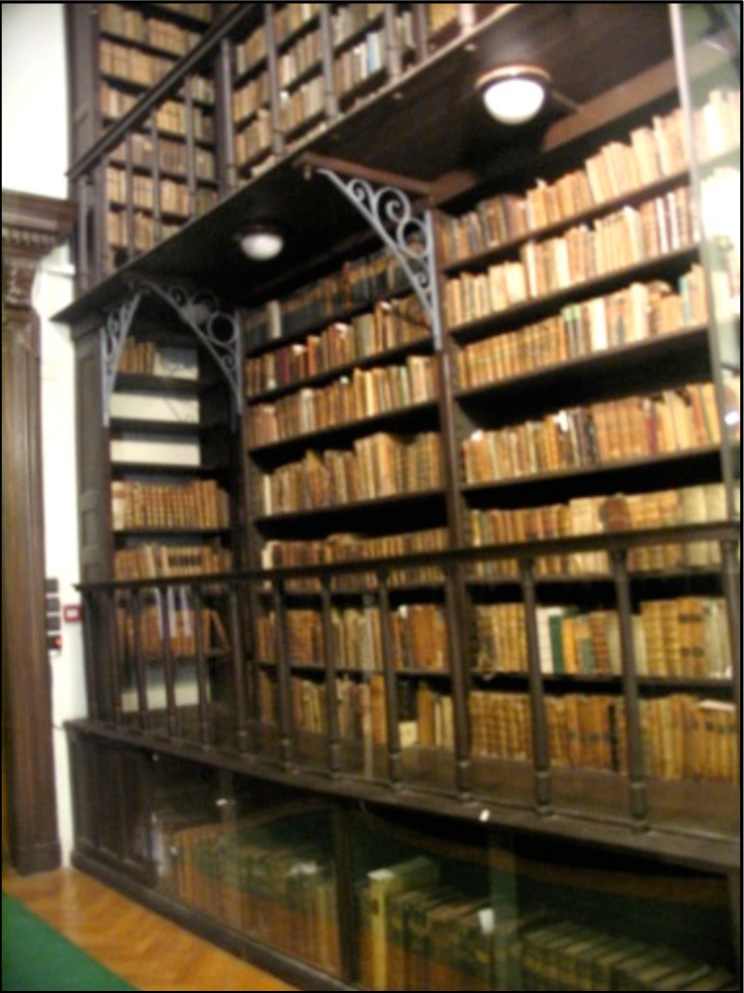
MAP EXHIBITION
To complement the Symposium, a special Map Exhibition was organised at the University Library which is also the country’s oldest public library. This Library, which dates back to 1562, has a library stock of more than 3,6 million volumes. As the principal repository of the Eötvös Lorand University, the Library holds extensive cartographic treasures.

SOCIAL EXCURSIONS
The social aspect of the Symposium was well catered for with an Ice-Breaker reception on 27 June, a Symposium dinner at an historic Budapest restaurant, and a one-day post-symposium tour of the Danube Valley in an air-conditioned, luxury coach. Places of interest which were visited, were Budapest – Esztergom (Danube Museum- special museum tour and map exhibition, Cathedral, Castle); Visegrad (the Royal Palace, and a Renaissance Dinner); and Szentendere (an Artists’ Town).
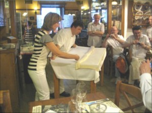
Symposium attendees are initiated into the secrets of traditional Hungarian “strudel”-making.
Watching the procedure with interest from the back are (left to right) Dr Zsolt Török (Eötvös Lorand University); Prof Matthew Edney (University of Southern Maine, USA), and Prof Gilles Palsky (Paris-Sorbonne).
PROCEEDINGS
The Proceedings of the Commission’s 4th International Symposium were published in 2013 by Springer-Verlag of Germany as the second volume in a series of books on the History of Cartography. The book is available as an e-book which can be printed on demand.
History of Cartography
International Symposium of the ICA, 2012
Series: Lecture Notes in Geoinformation and Cartography
Subseries: Publications of the International Cartographic Association (ICA)
Elri Liebenberg; Peter Collier; Zsolt Gyözö Török (Eds.) |
 |