CARTOGRAPHY IN TIMES OF WAR AND PEACE
5th International Symposium on the History of Cartography
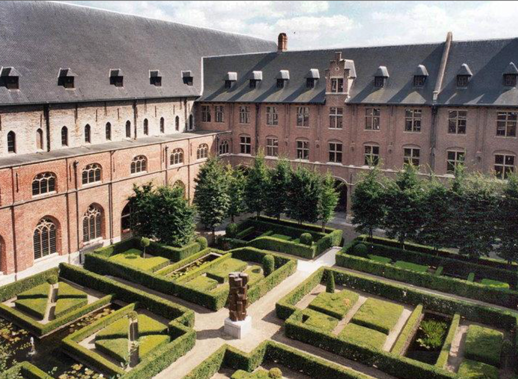
Ghent University, Ghent, Belgium
2-5 December 2014
The ICA Commission on the History of Cartography held its 5th International Symposium at the University of Ghent in Belgium from 2-5 December 2014. The Symposium was jointly organised by the ICA Commission on the History of Cartography, the ICA Commission on Map Production and Geo-Business, and the Brussels Map Circle (BIMCC) in collaboration with the Department of Geography of Ghent University, and the Research Foundation Flanders (FWO). The various paper sessions were held at the University’s conference centre “Het Pand”.
VENUE
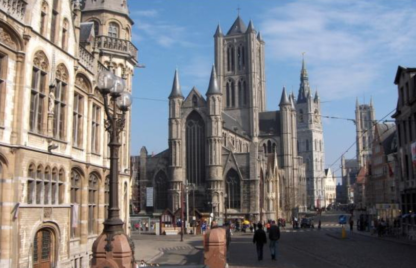
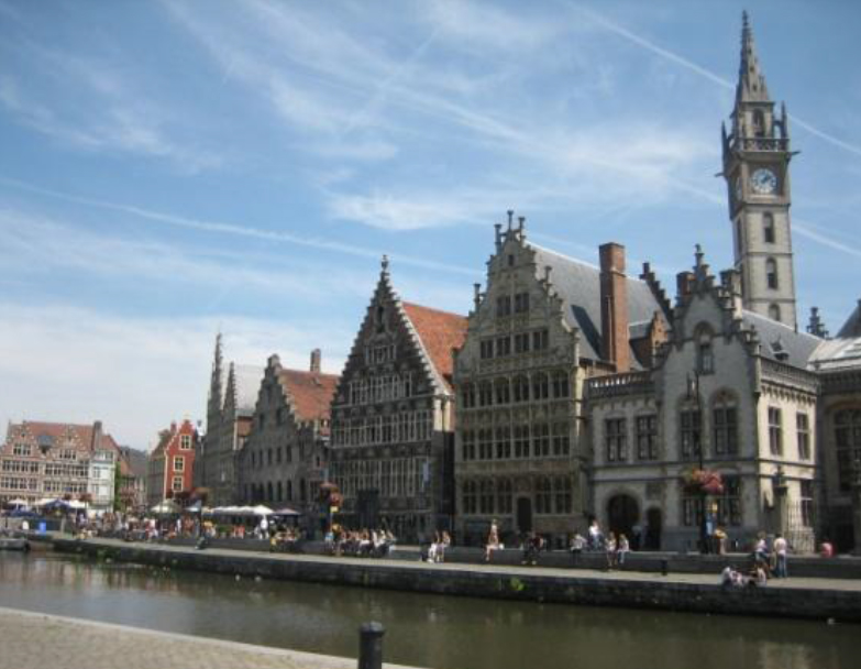
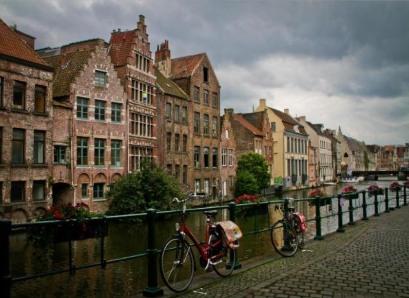
The City of Ghent
EURO-SDR WORKSHOP, 1 DECEMBER 2014
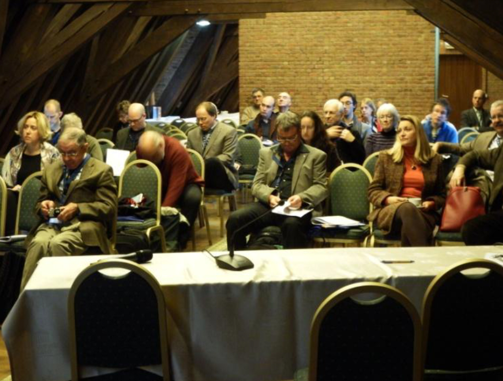
To accommodate as many participants as possible, papers on other cartographic endeavours during the 19th century were also presented. Members of the ICA Commission on Maps and Society participated, as did representatives of the USGS. Papers on the development of photogrammetrical techniques in American sector mapping, the digital transition in US cartography during the 1970s, and the diffusion of USGS geospatial data for science research, demonstrated the Commission’s mandate to not only investigate and record the history of cartography, but also of GI Science. The Symposium was attended by approximately 50 people.
Background: Geographic data has been subject to archiving in the form of maps for centuries. While the preservation of paper maps is well understood and put into practice, knowledge on the historical production process, and especially the pre-digital production process as it was practised by many National Mapping Agencies (NMA) during the 20th century, is disappearing and has hardly been documented. The last witnesses of this era, people and objects, will be gone in just a few years.
The aim of the First Workshop (2013) was to bring this problem to the attention of European National Mapping Agencies, academic institutions, museums, private companies, ICA members, and other interested parties and to ask for their cooperation in addressing this situation. The aim of the Second Workshop was to create a European platform to investigate this matter and to propose a concrete plan to preserve and open up knowledge on cartographical production processes during the 20th century.
The ICA Commission on the History of Cartography pledged its support for this venture and undertook to investigate to what extent pre-digital map production processes and procedures have been archived and documented by National Mapping Agencies.
THEME and SESSIONS
The general theme of the Symposium was
CARTOGRAPHY IN TIMES OF WAR AND PEACE
| Session 1: Military Cartography from the 18th – 20th Century (1)
Session 2: Military Cartography from the 18th – 20th Century (2) Discussion Session 1: The development of Aeuronautical Charts during World War I Session 3: World War I Cartography – Belgium Session 4: World War I Cartography – Britian Session 5: World War I Cartography – the Balkan States Session 6: World War I Cartography – Central Europe Session 7: Military Map Collections Discussion Session 2: General trends in World War I Cartography Session 8: The influence of World War I on Later Cartography Session 9: Military Cartography from the 18th – 20th Century (3) |
ATTENDANCE
The Symposium was attended by approximately 55 people. The majority of participants were from Europe (Finland, France, Belgium, the Netherlands, Germany, Austria, Switzerland Czech Republic, Croatia, Greece), whereas others came from as far afield as the US, the UK, Australia and South Africa.
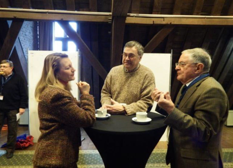


To complement the Symposium, the former Map Librarian of the Royal Geographical Society in London, Francis Herbert, kindly exhibited approximately 50 military maps from his private collection. The maps covered various military events such as the Crimean War, the Boer War, the First World War, and the Second World War.
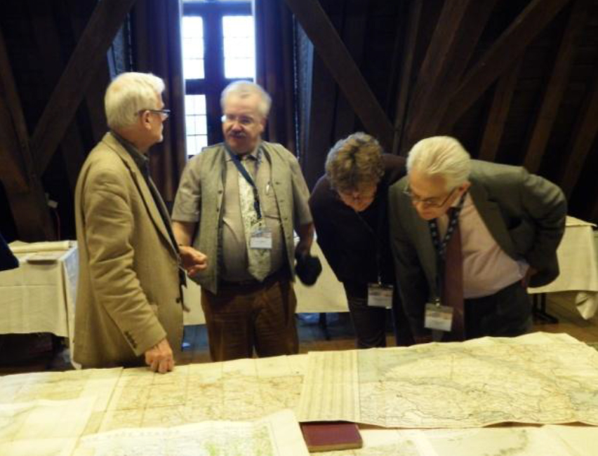

Francis Herbert explains some detail on a military map to Imre Demhardt and Caroline and Paul de Candt.
SOCIAL EXCURSIONS
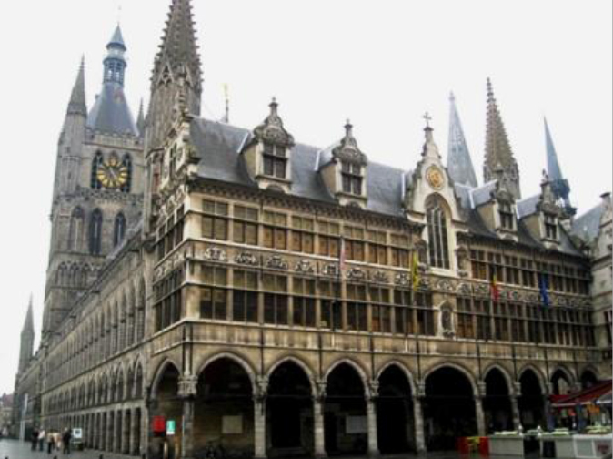
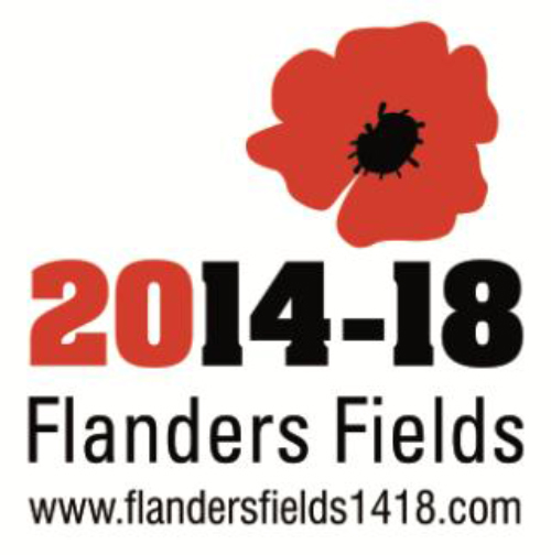
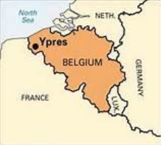
The social aspect of the Symposium was well catered for with a guided visit on Wednesday 3 December to the “In Flanders Fields Museum” in Ypres which is dedicated to exhibits relative to the First World War, followed by dinner and the attendance of the daily Last Post Ceremony. The conference dinner took place on Thursday 4 December, while on Friday 5 December there was a guided visit to the Mercator Museum in St Niklaas.
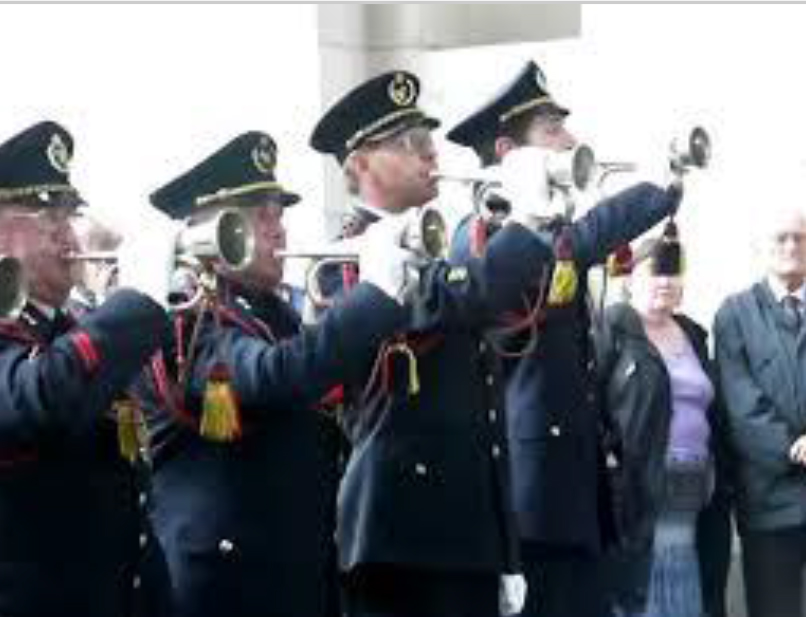
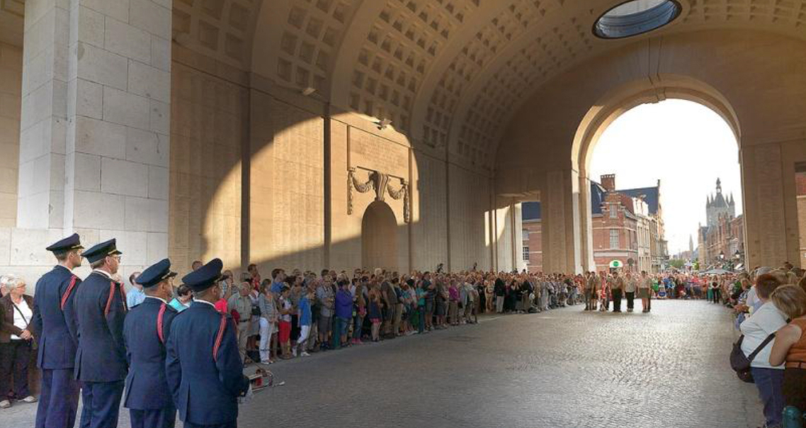
The daily Last Post Ceremony in Ypres commemorating the fallen in the Great War.
PROCEEDINGS
The Proceedings of the Commission’s 5th International Symposium were published in January 2016:
| History of Military Cartography 5th International Symposium of the ICA Commission on the History of Cartography, 2014 Series: Lecture Notes in Geoinformation and Cartography Subseries: Publications of the International Cartographic Association (ICA) Elri Liebenberg; Imre Josef Demhardt; Soetkin Vervust (Eds.) |
 |