WORKSHOP ON HISTORICAL MAPS, ATLASES AND TOPONYMY
Held before the 26th International Cartographic Conference (ICC)
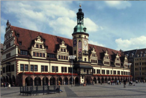
Leipzig, Germany
22-23 August 2013
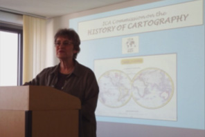
The 26th International Cartographic Conference of the ICA took place from 25-30 August 2013 in Dresden, Germany. As a pre-conference event, the ICA Commission on the History of Cartography (Chair: Elri Liebenberg) in collaboration with the ICA Commission on Atlases (Chair: Peter Jordan) and the Joint ICA Working Group and IGU Commission on Toponymy (Chair: Paulo de Menezes) organised a Seminar on Historical Maps, Atlases and Toponymy at the Leibniz Institüt fur Länderkunde (Institute of Regional Geography), Schongauer Straße 9, Leipzig, Germany on Thursday 22 and Friday 23 August 2013.
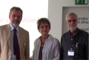
Prof Peter Jordan (Austria), Elri Liebenberg (South Africa) and Paulo de Menezes (Brazil)
The programme which made provision for paper presentations dealing with the function and use of place names on historical maps and in atlases, was as follows:
PROGRAMME
Wednesday, 21 August 2013
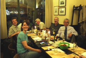
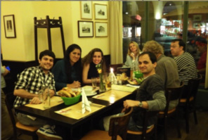
20:00 Ice Breaker, Restaurant Altes Rathaus
Thursday, 22 August 2013
09:00 – 09:40 Opening and introduction by the co-operating partners
09:40 – 10:00 Sebastian LENTZ: A short introduction to the city of Leipzig.
10:00 – 12:40 Session 1 : Place names and atlases (Chair: Peter JORDAN, Austria)
10:00 – 10:20 JORDAN, Peter (Austria): Principles of place names rendering in the various kinds of atlases.
10:40 – 11:00 Coffee break
11:20 – 11:40 WOLODTSCHENKO, Alexander (Germany): Towards a cartosemiotic research of names in diverse atlases.
12:00 – 12:20 MAREK, Thomáš (Czechia): Place names on 3rd Military Mapping of Silesia
12:20 – 12:40 LOSANG, Eric (Germany): nationalatlanten.nationalatlas.de – An interactive database on national atlases.
12:40 – 14:00 Lunch
14:00 – 16:00 Session 2 : Cartographic place names research (Chair: Paulo de Menezes, Brazil)
15:00 – 15:20 Coffee break
15:40 – 16:00 LOSANG, Eric (Germany): Geoimaginaries – A virtual research environment for the humanities.
20:00 Social dinner, Restaurant Thüringer Hof, Burgstraße 19, Leipzig.
Friday, 23 August 2013
09:00 – 12: 00 Session 3: Place names on historical maps (Chair: Elri Liebenberg, South Africa).
09:00 – 09:20 Ormeling, Ferjan (Netherlands): Names on old maps.
09:40 – 10:00 PALAGIANO, Cosimo (Italy): The shape of Italy on ancient maps.
10:20 – 10:40 Coffee break
10:40 – 11:00 GERšIč, Matjaž; KLADNIK, Drago (Slovenia): Cigale’s World Atlas and its impact on Slovenian exonyms.
11:00 – 11:20 MENEZES, Paulo de (Brazil): Linking Rio de Janeiro State, Brazil, through historical cartography and toponomy.
12:00 – open end: Final discussion and closure.