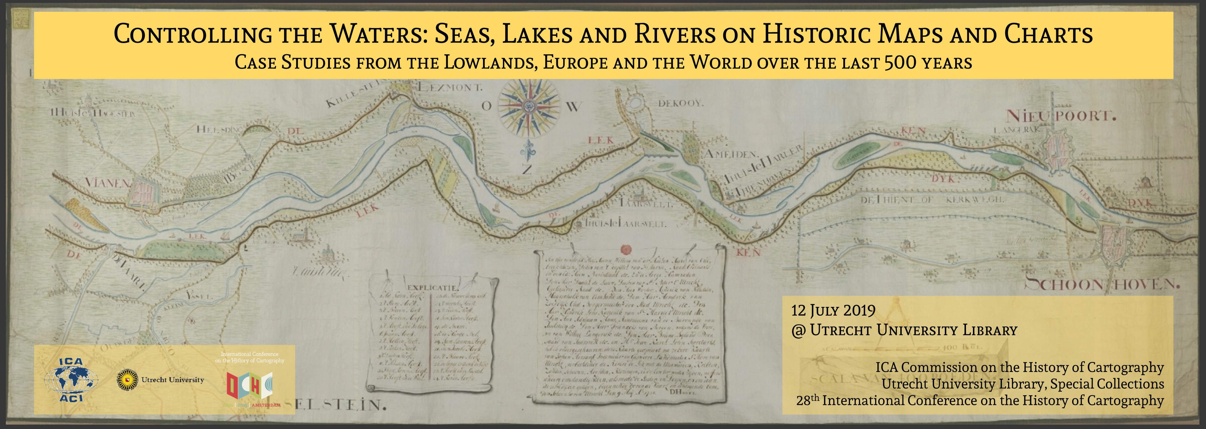
CONTROLLING THE WATERS:
Seas, Lakes and Rivers on Historic Maps and Charts
Workshop held before the 28th International Conference on the History of Cartography (ICHC)
Utrecht, The Netherlands
12 July 2019
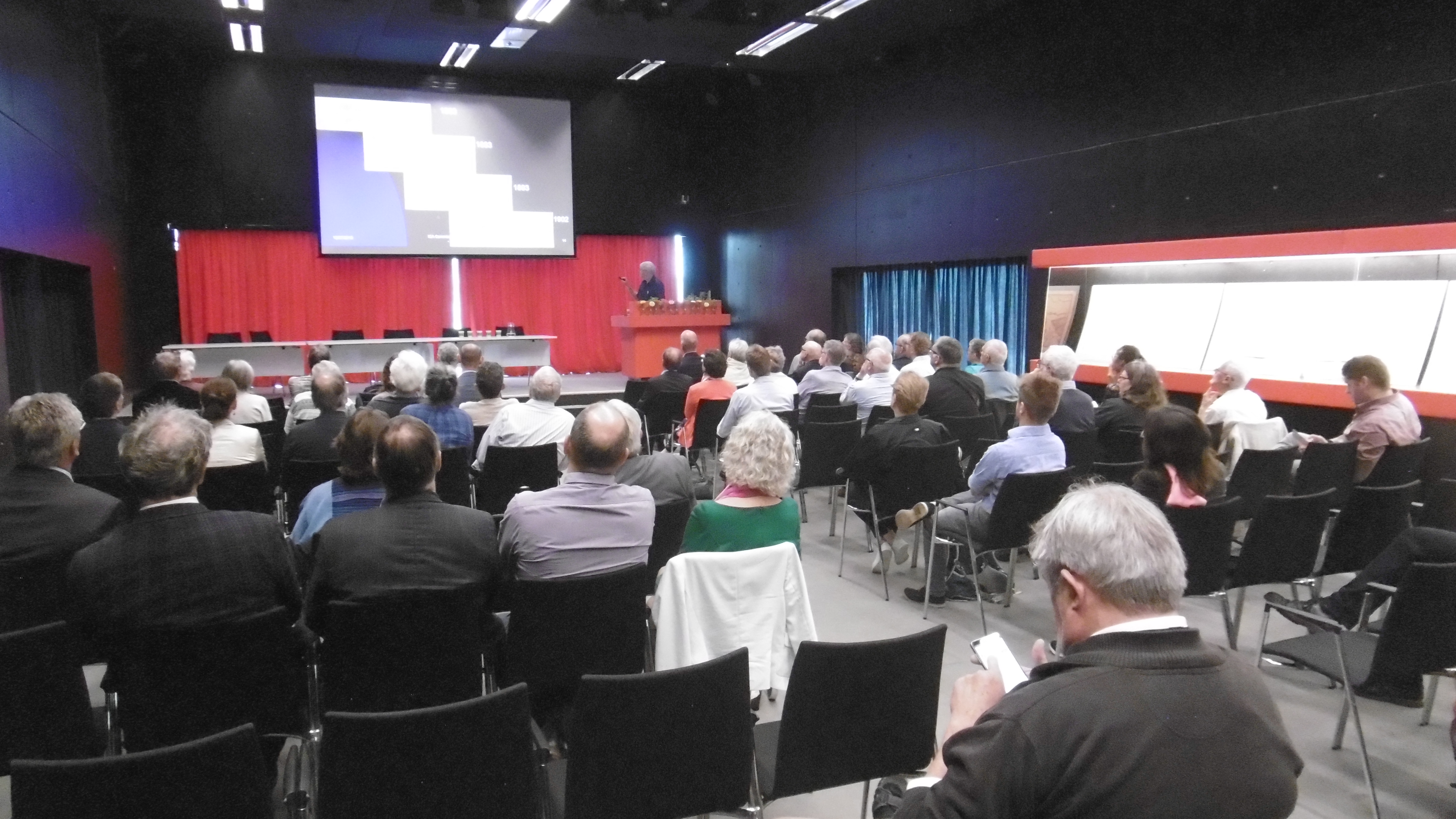
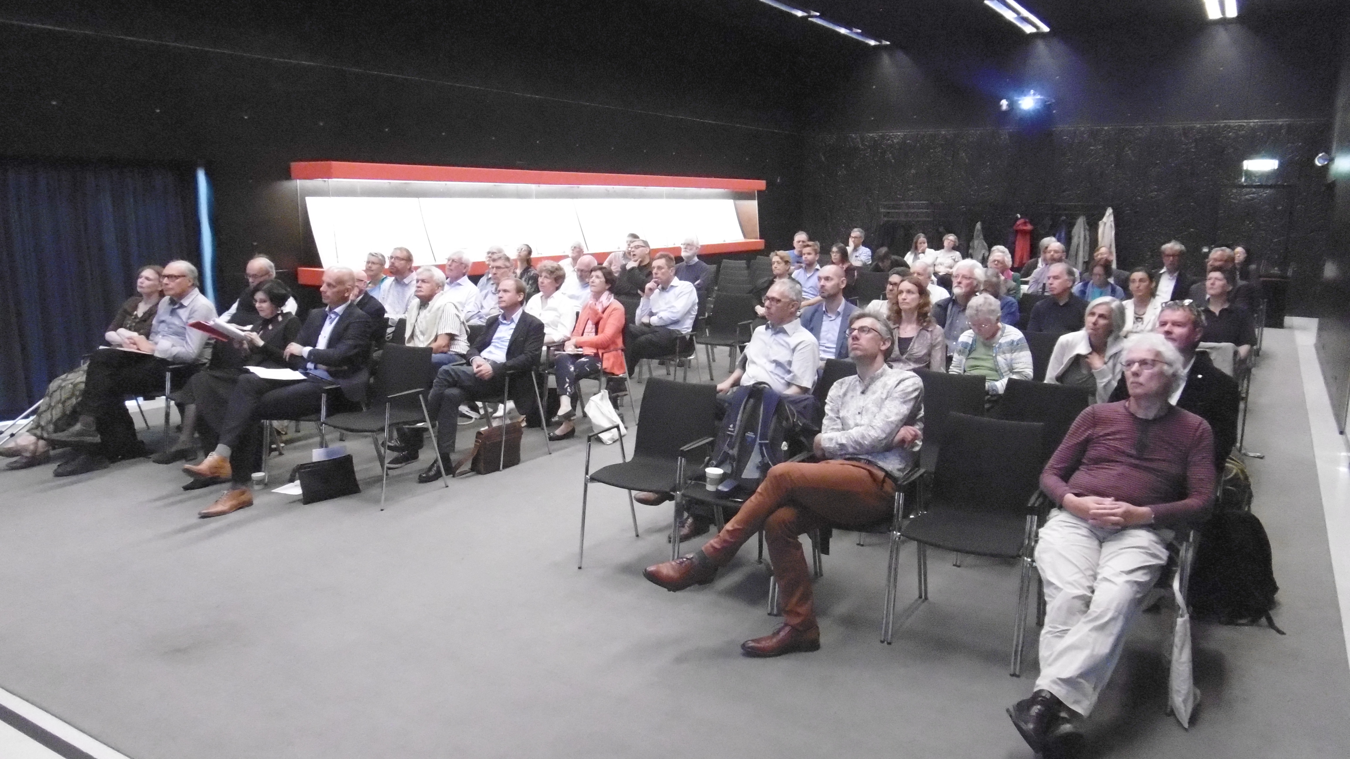
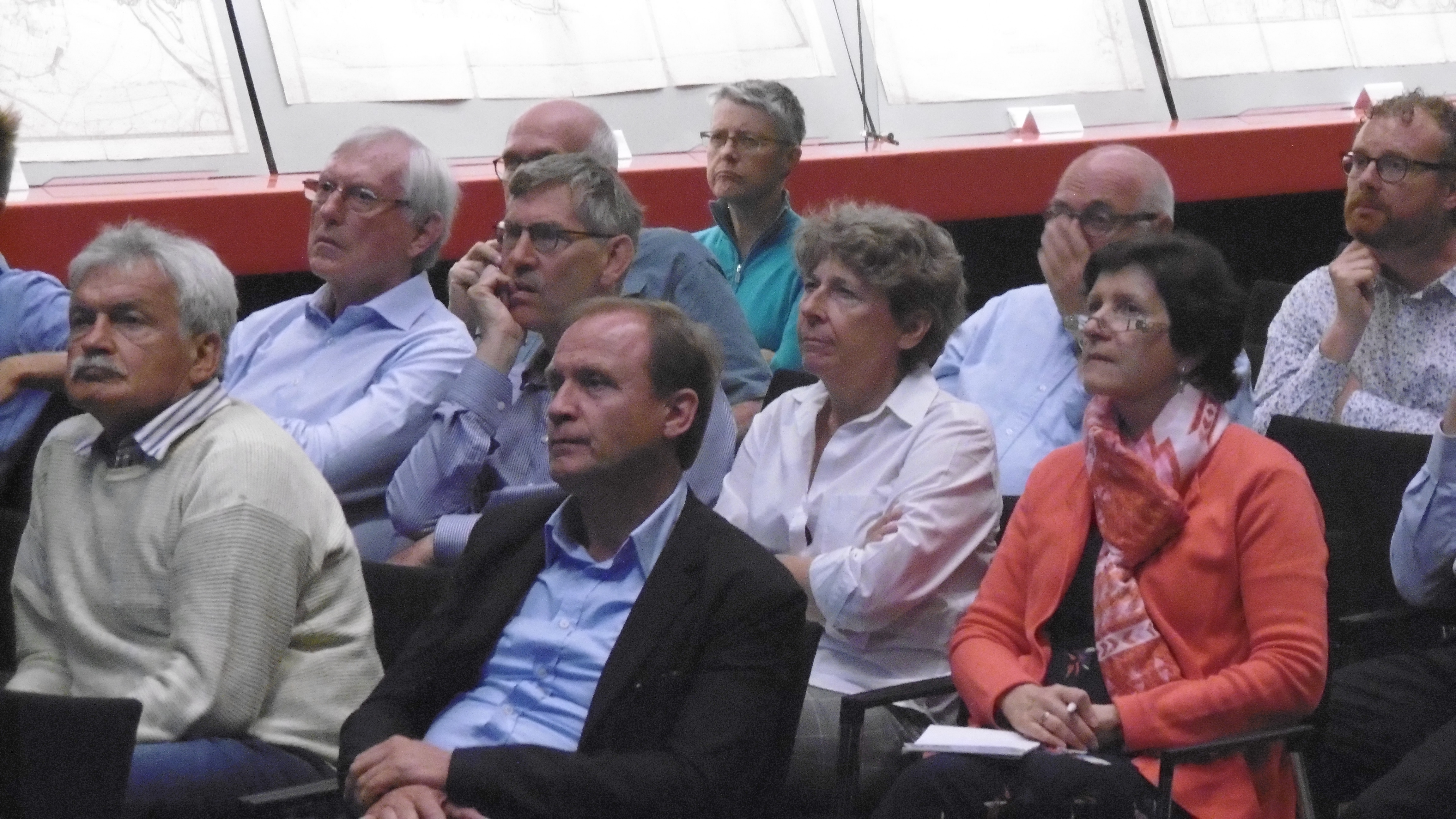
It is a tradition that the International Cartographic Association and the International Conference on the History of Cartography jointly organize a pre-ICHC event. For the 28th ICHC they teamed up with the Special Collections of Utrecht University Library and together hosted a workshop focusing on the cartography of water on Friday 12 July 2019 in the Boothzaal of the library.
THEME and PROGRAMME
Fresh and salt waters are a key lifeline for all civilizations but at the same time can also threaten human habitats. Over the centuries, people have ventured out to navigate and explore the waters, while also putting systems in place to manage and control them. This has resulted in numerous categories of water-related maps such as portolan charts, maritime and river cartography, hydrographic surveys, VOC charts, polder maps etc. The workshop offered a forum to discuss this rich variety in cartographic heritage.
| 10:00‑10:15 | Walk in with coffee/tea |
| 10:15‑10:30 | Opening address by the organizers |
| 10:30‑11:00 | Keynote address by Prof. Dr. Bram Vannieuwenhuyze (University of Amsterdam) on the display of waterways on sixteenth century town plans of the Netherlands |
| 11:00‑11:20 | Coffee break |
| 11:20‑12:35 | Session 1 (chair: Marco van Egmond) Ferjan Ormeling - Charting tropical waters. The organisation of the Dutch hydrographic surveys in the 19th century Imre Demhardt - Water as a scarce and contested commodity. Case studies from Namibia (German South West Africa) in the 19th and 20th centuries Vera Dorofeeva-Lichtmann and Yulei Yang - Mapping the Chinese Empire through a Network of Communicating Waterways: Two Late Qing Dynasty Maps in the collection of the MPIWG (Berlin) and Their Origins |
| 12:35‑13:35 | Lunch break |
| 13:35‑14:50 | Session 2 (chair: Bram Vannieuwenhuyze) Frank Gelaude - Looking for hydraulic engineering works in the city of Ghent between 1100 and 1300 Wolfgang Crom - Fossa Eugeniana or Catholic Spain’s attempt to run the rivers of the reformed Netherlands dry Bas van der Meulen - Insights into fluvial morphological processes from historic maps of Rhine river branches |
| 14:50‑15:10 | Coffee break |
| 15:10‑16:00 | Session 3 (chair: Imre Demhardt) Wolfram Dolz - The Official Map Series of the Elbe River in the Kingdom of Saxony in the 19th century Martin Rickenbacher - Mapping the unknown. Depth soundings of Swiss lakes in the 19th century |
| 16:00‑16:10 | Closing remarks |
| 16:10‑17:30 | Drinks reception and map exhibition |
MAP EXHIBITION
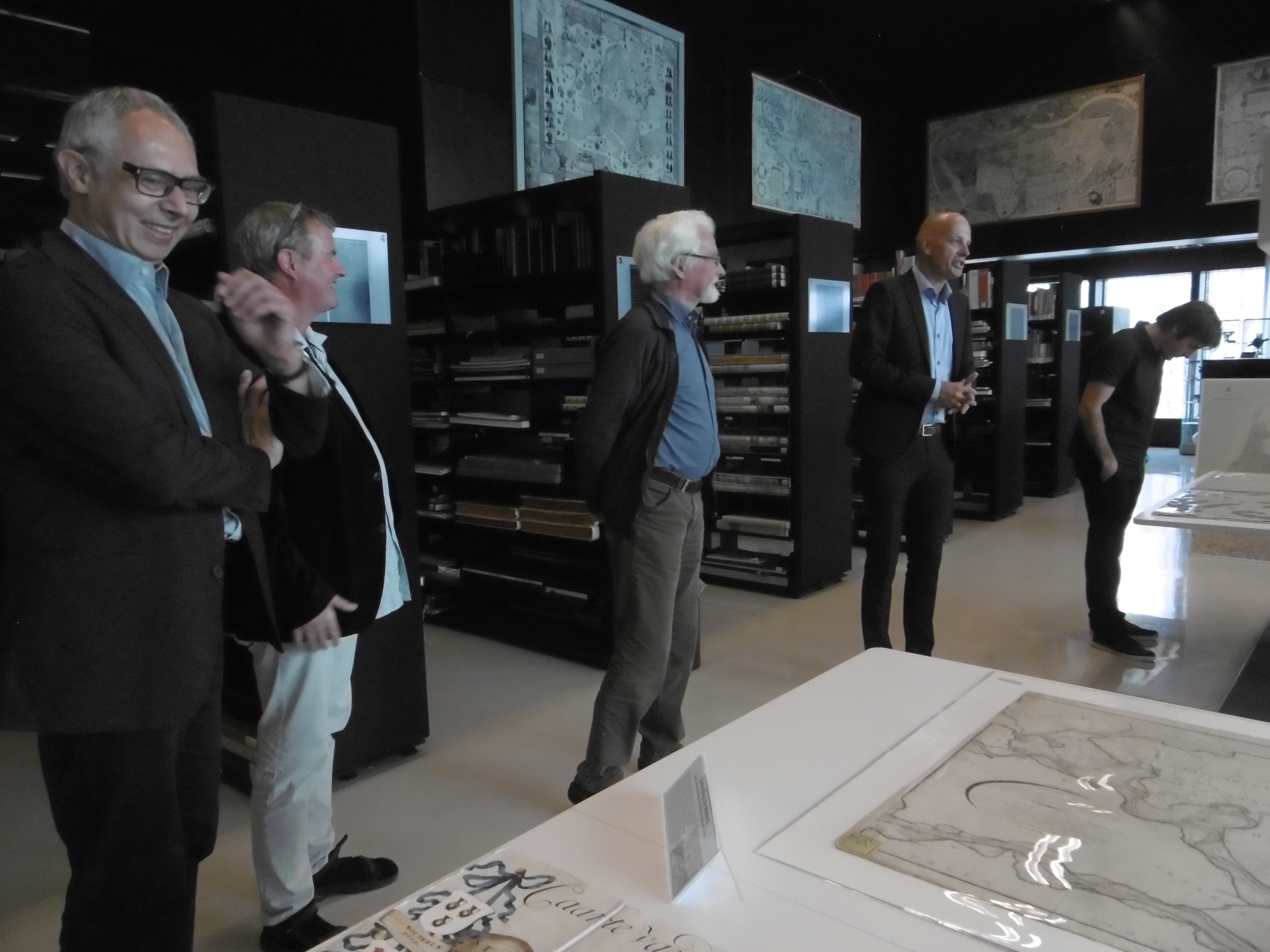
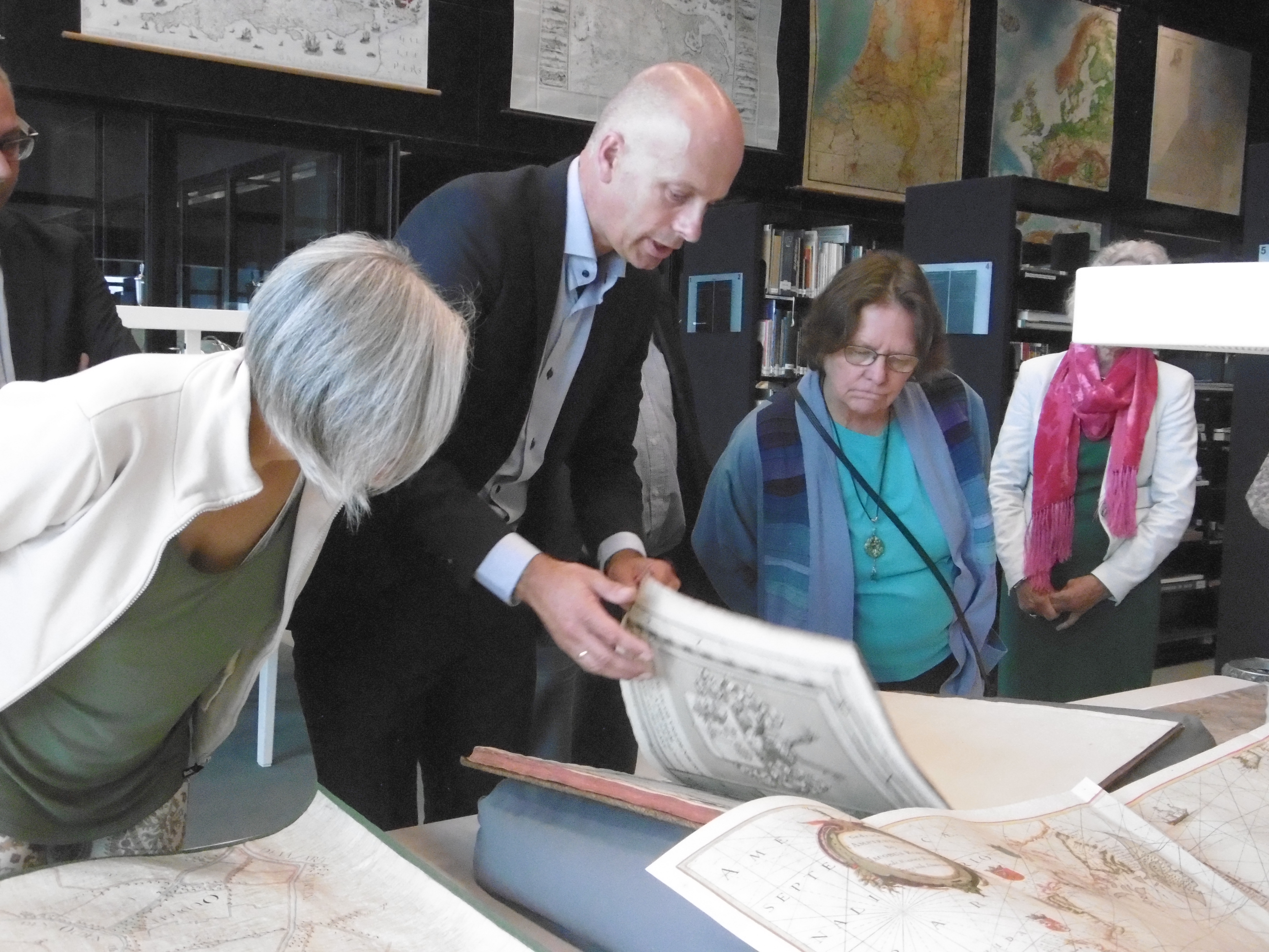
The workshop was complemented by a special map exhibition from the map collection of the Utrecht University Library. Water management has played an integral role in the history of the Netherlands. For centuries the country has been crusading against sea and river water that threatens to flood the valuable land from all sides. This rich tradition has left a considerable legacy of early and rare cartographic publications, with the dynamics of the landscape being showcased on old maps, for instance of water control boards. The Utrecht University Library has a large collection of these early printed works, atlases and maps, which paint a telling picture of the – often difficult – relationship the Netherlands have with water. Some prime examples were on display during the workshop.