OLD WORLDS – NEW WORLDS:
History of Colonial Cartography from 1750 to 1950
1st International Symposium on the History of Cartography
Utrecht University, The Netherlands
21-23 August 2006

GENERAL
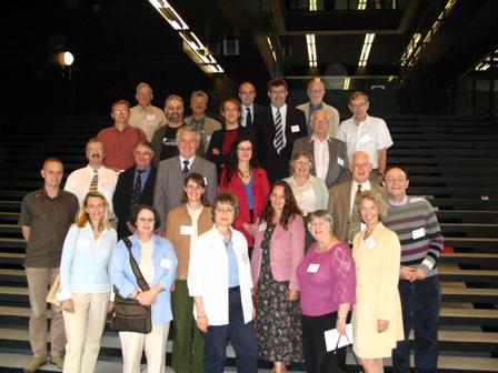
The international symposium of the (now disbanded) ICA Working Group on the History of Colonial Cartography in the 19th and early 20th centuries took place at Utrecht University in the Netherlands on 21-23 August 2006. The symposium was open to all cartographers, geographers, historians, map collectors, academics and lay persons interested in the history of overseas cartography from the mid-18th to the mid-20th centuries and was attended by approximately 30 delegates.
An interesting and constructive discussion instigated by Dr Andrew Cook of the British Library took place as regards the function and future credibility of the WG. It was decided that future international meetings will also have a workshop component where aspects such as the sources and methods used in researching colonial cartography could be discussed.
PROCEEDINGS
Christopher Board
The British War Office 1:250,000 mapping of Cape Colony 1906-1914
Lowie Brink
The cartographic representation of the Netherlands East and West Indies on Dutch school wall maps
Paul van den Brink
“Please provide us with accurate maps!”: The acquisition policies of the Royal Netherlands Geographical Society
Peter Collier
The Colonial Survey Committee and the Mapping of Africa
Imre Josef Demhardt
Hopes, Hazards and a Haggle: Perthes’ Ten Sheet “Karte von Inner-Afrika”
Dov Gavish
Barrel in the Courtyard of the Survey of Israel
Peter van der Krogt
The Werbata-Jonckheer maps: The first topographic maps of the Netherlands Antilles, 1911-1915
Elri Liebenberg
Providing a tolerably correct map of South Africa”: the cartography of Henry Hall
Rose Mitchell
From Roanoke to Aden: Colonial Maps in the National Archives of the United Kingdom
Jana Moser
Mapping the Namib Desert II: Sperrgebietskarte 1913
Ferjan Ormeling
School atlases for a colonial society: The Van Gelder/Lekkerkerker school atlases for the Netherlands East Indies 1880-1952
Mirela Slukan Altic
Janko Mikic – Croatian cartographer in the service of Henry Morton Stanley
J R Smith
The backbone of colonial mapping in Eastern Africa
H J Steward
Francis Barrallier: A life in context
